20 December 2020
Mangyshlak-the land of endless winds
The nature of the Mangystau region is extremely diverse and rich. It is especially attractive in spring. Local residents the final arrival of spring is determined by beskargam. that is, when all five winds blow, the turtles will fly, so spring has finally established itself. Spring in Mangyshlak comes very early. Rain is very welcome here, it is a rare guest here. Especially fascinating not only tourists, but also local rapid flowering of all kinds of vegetation. here you can also find the famous sogdiana tulips, listed in the red book. in may, in most cases, the swimming season begins boldly, when the children are already splashing in the endless sea by may 9. The air temperature sometimes reaches 55 degrees in summer. The heat is so intense that the dry air makes the nostrils stick together. And in the steppe, travelers often seem to see mirages, as if a huge reservoir meets you in front of you. regular tourists try not to come to mangistau in july, when it is hot and unbearable heat. Locals are very much waiting for the “crystal days”, which are set in late August-early September, when the heat subsides and the local Indian summer begins and nature spoils the rains.
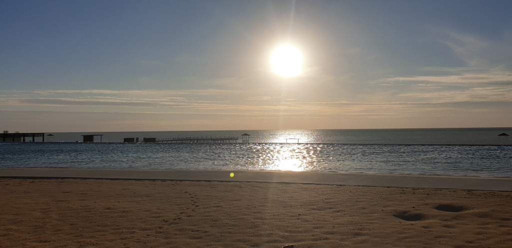
The July heat does not spare anything around, everything burns out, and therefore nature becomes “sad” – yellow-brown, sandy color. Winter in Mangystau comes unexpectedly. In 2019, she came here on November 2, when snow fell to the surprise of all, which went on for several days in a row. but this year, november in the aktau region turned out to be dry, cold and especially windy. The cold wind, especially in the bare steppe, seems to cut the skin with a knife, so piercing, unbearable and merciless. But the locals have long adapted to this. Now think about the following numbers. according to statistics, winds blow in mangystau every day and this is no exaggeration. Almost 191 days of north-westerly winds blow, 152 days of south-easterly winds blow. And only 22 days a year is set windless weather. Therefore, anyone who is going to conquer Mangystau should never forget about this important nuance.
Aktau – the city with the cleanest water
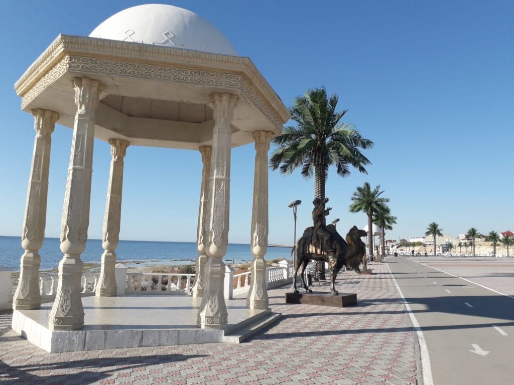
At the time of the Soviets in Aktau, a special competition was held to determine the degree of purity of the water used. To make the competition objective, water samples brought from many regions of the country were specially numbered. As a result, water at number 34 won, and the second number was drinking water at number 2. What does it mean? The cleanest drinking water in the distant 1970s was recognized as Mangistau water, and in second place was water brought from Moscow. Thus, it is possible to judge the high degree of purity of local drinking water.
Mangistau is located at 43 latitude and 53 longitude, which means only one thing. The fertile Mangystau land is simply a kind of center of the Earth or as the locals call it “The Umbilical Cord of the Earth”. Mangistau is really at the same distance from both the Indian and the Arctic Ocean. By the way, at the same 43rd latitude are the famous French riviera Nice, Japanese Sapporo, Russian Sochi and our favorite Almaty. if you look closely, then at this latitude there are all the famous resort cities that can boast not only a mild and warm climate, but also their rapid and rich flowering of vegetation in spring and summer.
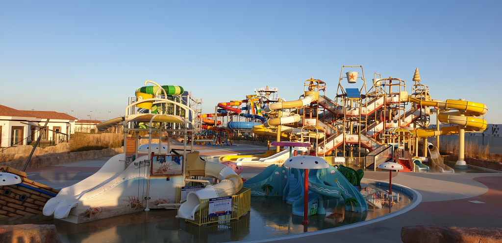
Our famous countryman, scientist-academician Kanysh Satpayev, who visited Mangistau in the distant 1950s, compared the region to a sleeping beauty wrapped in a veil. It was her region that reminded the scientist from a bird’s-eye view. It turns out that under the veils, the academician meant sand dunes and endless steppes. The area of Mangistau is 166 thousand square kilometers, that is, five countries can be located on this huge territory at the same time, such as Lebanon, Belgium, Denmark, the Netherlands and Switzerland. And you can place two or Azerbaijan, the three Baltic States. The territory of the region is divided into five districts – Munailinsky, which is considered the youngest, appearing on the map of the region in 2007.
the second district is tupkaragansky with the district center of fort shevchenko, one of the oldest settlements in the region, which received the status of a city back in 1899.
In the north of the region there is a large railway district – Beineusky with the district center of the same name. In the south of the region lies the Karakiyansky district, where the main natural monuments and sacred places are concentrated. This Basjira, and Shopan ATA, Kyzylkup. The district center is the village of Kuryk And the fifth, no less interesting district of the Mangistau region, which is called Regina with the district center of Shetpe.
By the way, to get from the capital of Nur-Sultan to Aktau, you need to overcome almost 2400 kilometers.
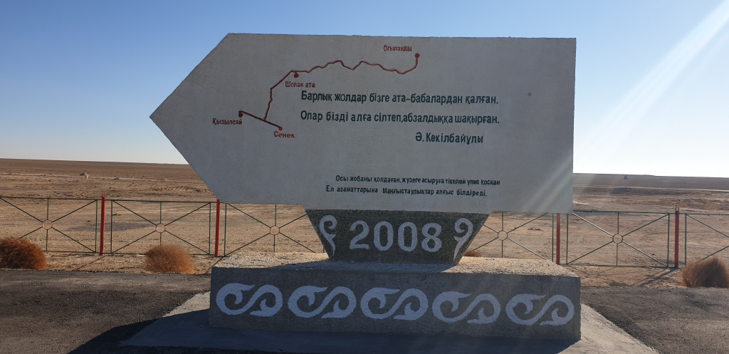
Mangyshlak-reserve box
By the way, Mangyshlak is proudly called the reserve box of Kazakhstan. Because it is in these lands that absolutely all the chemical elements of the periodic table are found.
In particular, the year 1961 for the Mangistau region is rightly considered historical, when the first oil from the well was hammered here. They say that when the first oil fountain struck, there was such a hum in the area that it could be heard within a radius of 10 kilometers.
the most interesting thing is that the oil pumpers work on the principle of a syringe. From a well with a depth of 2 to 5 kilometers, a hammer with a huge bucket is bent, captures up to 15 liters of oil. There are also underground pipes in both directions that carry oil to the distributors. After appropriate laboratory manipulation and purification, the corresponding oil enters the pumping station, from where it is sent to the main oil pipeline.
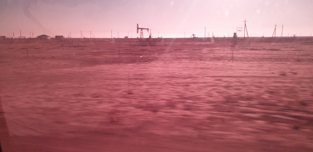
By the way, our guide told a lot of simple, but such amazing things not only about the production, but also the transportation of oil. I would never have guessed that the oil was heated in special stoves on the way to the consumer. And all because the oil is paraffin, and therefore quickly freezes. But in modern oil pipelines, this problem is eliminated by modern solutions. And more. As it turned out, oil is not only black. it’s not for nothing that they say black gold. As it turned out, oil can be very different colors-from black to unexpected peach and golden, and to white and brown.
We have heard and seen about various contests, but to have an oil contest is something new. Well. For a long time, it was believed that the best oil is Zhanaozenskaya and zhetybayskaya, which contain up to 30 percent paraffin. With the discovery of new fields, the quality of oil only improved. But, however, to be sure to calculate the thickest oil, a special competition was held. For this half-liter of balaski every Mangyshlak field filled with oil. For complete objectivity, each bottle numbered. As a result, as it turned out, it was Karazhamba oil that turned out to be the most dense, viscous, with a high paraffin content. A half-liter eggplant with oil was fully pumped only after three hours. it was so thick. Kalamkasskaya oil took the second place, having dug completely in 50 minutes. And today, Karazhambass oil is delivered directly through the pipeline to the plastic mass plant or, as it is called today, the bitumen plant.
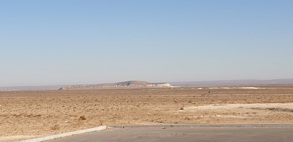
the famous oil villages of munaishi, new and old zhetybai were created due to the increasing rate of oil production. before oil is pumped through pipelines, there are oil pumping stations at the outlet and every 100-200 kilometers.
until the moment when oil was not produced in industrial volumes, many different travelers wrote about the miracle of resin. in particular, the researcher andrusov wrote that “in a titanic way, you need to explore karatau, go around all the gorges. But I have neither the means nor the time to do so.”
here is what the russian traveler grigory karelin wrote: “i was surprised to notice that with all sorts of strokes of the oars, almost touching the bottom of the caspian sea, large circles of greasy green matter floated up. not far from the village of novoaleksandrovka there is a salty stream, and then flows mountain tar, and even further white oil.”
the traveler mikhail ivanin, during an expedition on the mangyshlak peninsula, wrote about the presence of oil, glauber salt and white stony limestone, or, as it is also called, shell stone, from which the whole of aktau is practically built today. In 1874, the mining engineer Kirpichnikov was sent to Mangyshlak. and this is an excerpt from his recording: “there are undoubtedly large accumulations of oil here. it is very difficult to take advantage of this wealth, since there is no fresh water, communication routes with settlements. There are no meadows or steppes suitable for haymaking.”
although in the laboratory in st. petersburg, the oil found on the territory of azerbaijan was given the following characteristic: a smelly liquid suitable only for greasing a cart. And try today to imagine your life without oil and petroleum products?! And Hippocrates in ancient times in his Medical Book about the miraculous power of oil wrote that “If this black ointment is smeared on the chest, then the cough in the womb will pass, and if the white ointment is dripped over the eyes, then the eyesore will pass.”
As soon as the first fountain struck, after a while more and more new oil fields began to open up. The most recent ones are Karazhambas, Kalamkas, Northern Buzachi, Arman Yuzhny, the Kashagan field in the open sea, which was named after the famous singer Akyn in Mangistau, whose 150th anniversary coincided with the discovery of this field.
Our guide on the way to Zhanaozen told us the story of our famous countryman Shakhmardanov Yesenov, whose name is one of the local universities. it turns out that the youngest minister of geology of the kazakh ssr is 37-year-old sh. yesenov became known after one important case in the history of our country. Many people remember how Nikita Khrushchev handed over Crimea to Ukraine in 1954, and the same fate could have been expected on the Mangyshlak Peninsula 10 years later. The whole point is that Khrushchev intended to decide the fate of Mangyshlak at a closed Plenum by transferring it to Azerbaijan or Turkmenistan, justifying this by the fact that these union republics have years of experience in oil production, where all the infrastructure and relevant specialists are available. On behalf of Kazakhstan, Dinmukhamed Kunayev decides to send Minister Sh. Yesenov, who eventually was able to bring all the evidence of the fallacy of the transfer of Mangyshlak to other union republics. Many years later, at the dawn of Independence in 1995, the main university of the Mangistau region was named after our famous countryman.
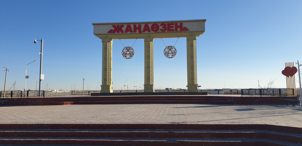
So that’s about Zhanaozen. In 1968, the oil village of Novy-Uzen received the status of a city, in 1992 it was renamed Zhanaozen. according to the project, the shift camp was designed for 60, maximum for 70 thousand people. However, today the city has grown so much that 120 thousand people will already live here. In this regard, a new problem of a local nature has emerged. The city has nowhere else to build. It would seem that the endless steppes, build as much as you want. but the stalemate was caused by the city being held hostage by oil fields, and the private sector construction permit also made the situation worse. There is nowhere to lay communications. It would seem a little further from Zhanaozen, there are villages Summer, Tenge, Step. but people want to live in the city. Local authorities in their own way decided to get out of this extraordinary situation. As it became known, in order to unload Zhanaozen somehow, local residents were allowed to stand in line for housing in the city of Aktau. This year, the first 200 people should get apartments in the regional center.
362-the mystical power of numbers
It has long been known that Mangystau is called the land of 362 saints. Here, even license plates for local vehicles have a special status and to get it is a great success. And such a pleasure is not cheap, sometimes it reaches half a million tenge.
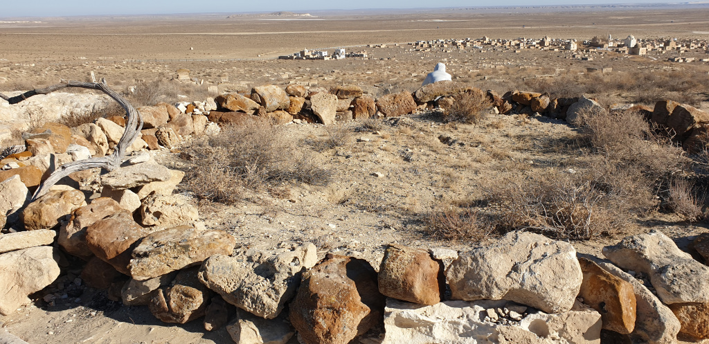
There is a beautiful legend about the appearance of all the above-mentioned saints on this blessed land. It turns out that Khoja Ahmet Yassawi gathered all his students, and there were more than 3,000 murrids. To prevent all his followers from going in the same direction, he suggested that each of them shoot arrows from the shanyrak of the yurt. Where he would fall, his disciples would go to preach Islam and practice medicine to heal people. and it so happened that the arrows of 362 saints flew to the mangistau land. Although some data speak of 366 saints, four of whom later left these lands.
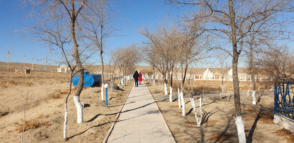
Visiting the necropolis, you can see long wooden poles, which eloquently indicates that a saint is buried at this place. After all, the roots of the tree are the underworld, the trunk is considered the world of the living now, and the crowns are the heavens. At this pole, the rites of sacrifice are always carried out – they tie up handkerchiefs, and you can put 7, 21 or 49 coins. and the most interesting thing is that each saint was considered the patron saint of a certain object or subject. For example, one saint patronized the youth, the second sailors, the third shepherds, and so on ad infinitum.
Karakol can get international protection
The first thing that met us in 25 kilometers from Aktau, is known not only in the district, but also in the whole world, the artificial lake Karakol, which belongs to the Karakoy-Karakol reserve. Although in fact, this massive reservoir was born thanks to the Mangyshlak power plant, which was designed to provide a young and fast-growing city with fresh drinking water. A huge amount of water was required to cool the desalination plants. The water used had to be drained somewhere. Back in the sea, this water was no longer possible to drain for one reason – it was hot. And the depression, which was located near the MAEK, began to gradually fill with technical water, which later grew to 15 kilometers in length and became a huge artificial reservoir.
Because of the huge amount of food, the lake was chosen by a huge number of birds. More than 80 species of birds can live here in spring and autumn, including the well-known swans and red-book flamingos, which became especially popular in early November thanks to a local resident Azamat, who was able to capture these extremely beautiful and exotic birds on a drone, which stopped here on the way to Iran and Turkmenistan. by the way, lake karakol is also popularly called swan lake, because it used to happen that ornithologists here counted up to 10,000 swans at the same time.
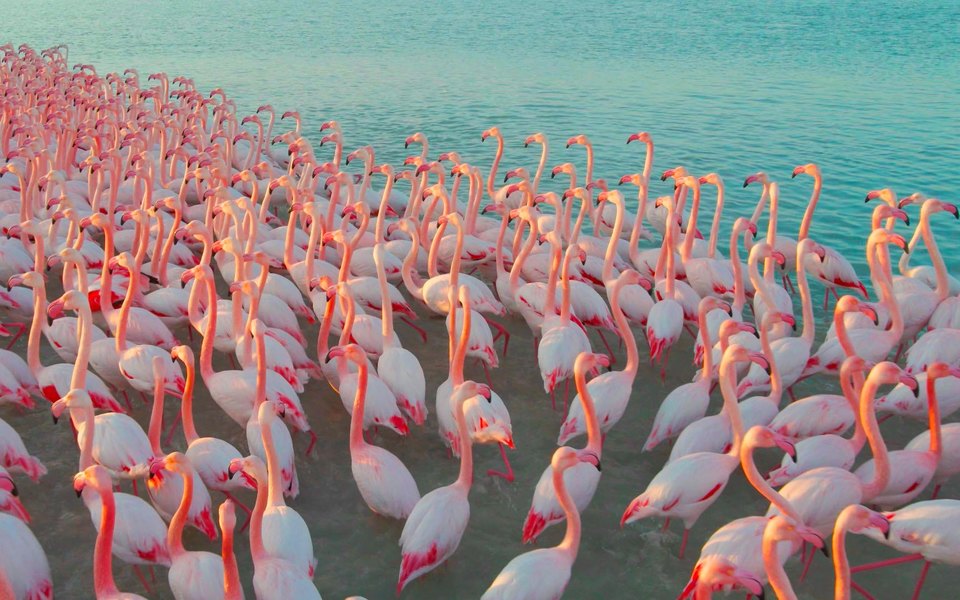
By the way, it may happen that the artificial reservoir in the very near future will receive international status, which will help strengthen the protection of Karakol. Experts have carried out all assessments in order to include it in the list of the Ramsar Convention on Wetlands. All these steps can also help attract a large flow of tourists.
perhaps, aktau is the only city in kazakhstan, which apartments receive three types of water-drinking, hot and in the bathroom runs technical water, that is, water from the sea with a high salt content, which is suitable for washing.
Karagie Depression – a force of nature
A separate story is worthy of the famous depression Karakiya li Karagie, which means black mouth or black slope. Standing at the cliff takes your breath away from the abyss below. Karakia is an inseparable part of the Ustyurt plateau. It fully justifies its name, because its lowest point is 132 meters or comparable to the height of a 40-storey building. The famous traveler, researcher Fyodorovich compared the Karakia depression to a planet in miniature with views of deserts. That is, if you want to see all kinds of desert in one place, just get here. To see takyrs you don’t have to go to Uzbekistan, to see Sora you don’t have to go to Turkmenistan, to Africa beyond the Gobi Desert. In the Karagie depression in Mangyshlak, you can see all these natural beauties at the same time.
Karagie is able to form a cyclone and is considered a water collection generator. the basin is the fifth deepest in the world, behind the dead sea basin on the border of jordan and israel (405 m), the turfan basin in china (154 m), the afar basin in africa (153 m) and the qatar basin in egypt (133 meters). The length of the depression reaches 60 kilometers and its landscape is compared to the lunar or Martian.
People’s writer Abish Kekilbayev in his book “The Land of Unsolved Mysteries” wrote the following about the Karagie depression.
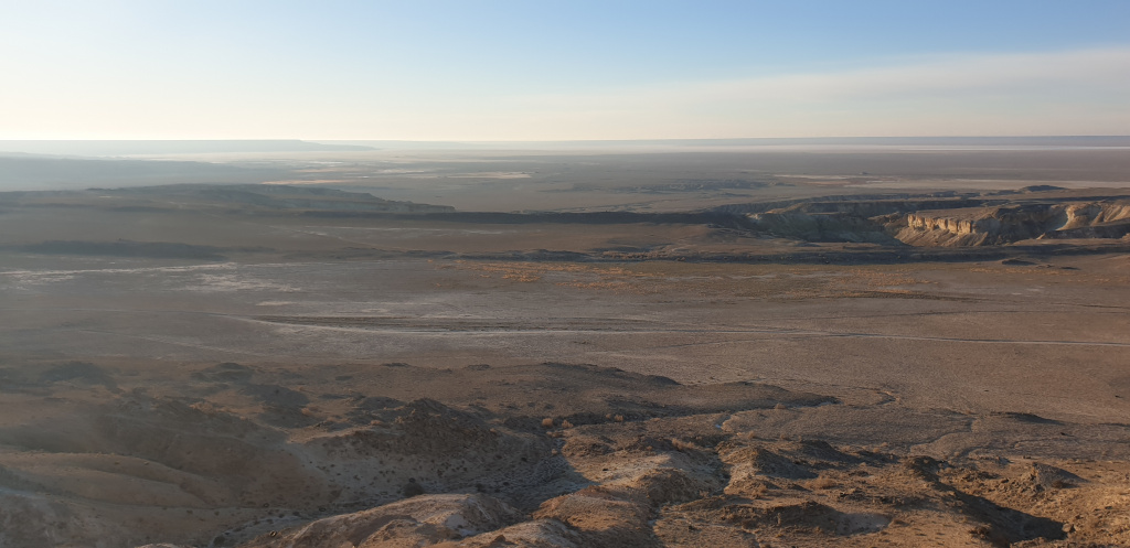
“Here is the Karakiya depression. The giant basin is 132 meters below the level of the world ocean. The idea that you have accidentally found yourself at the Gulf of the Dead Sea in the Sinai Peninsula inevitably comes over you. You see salt lakes, chalk hills, loose dunes, huge rocks that look like a defensive inaccessible fortress. And the snow-white mountains, like whitish clouds floating randomly in the sky, remind you of the icebergs shrouded in haze along the coast of Greenland.”
Before reaching Karagie, there are wandering or moving sands that cause certain difficulties to the local population – strong winds, wandering dunes, unpleasant sounds made by the sands, resembling the hiss of a snake. and the worst thing is that on its way the sands fall asleep absolutely everything. It saves that here the wandering sands occupy a very small plot of land. But in the area of the villages of Senek, Ushtagan, there are huge moving sands that can fill up an entire house overnight, so that in the morning it is impossible to even open the door to the house. Such anomalies were especially common in the 1980s. Then scientists received a task from the authorities to stop the movement of threatening sands. After thinking for a long time, after some time, scientists have found the optimal solution that is suitable for this area. this unique miracle tool was a plant tamarisk or zhyngyl, the roots of which are well fixed sands and are able to keep the movement of dunes. The roots of zhyngyl can stretch up to 30 meters deep. And even local Kazakh jingel affectionately called lilac because of its color. By the way, in Egypt in the early spring when ripe, strewed small jangula croup. local bedouins collect it and, adding sugar to it, prepare a national flatbread and treat them to tourists. And the expression “Manna from heaven” allegedly came from here.
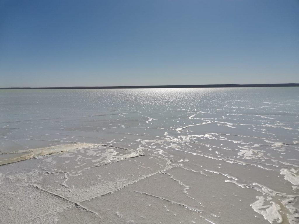
in mangyshlak, sores are often found, this is a type of desert that vaguely resembles lakes. However, this is a misleading representation. these are just salt-filled reservoirs, like mirages falsely beckoning travelers to themselves as full-flowing lakes. an excellent example of this natural phenomenon can be called tuzbair (a region rich in salts), where a lake consisting of endless salt stretches for more than 20 kilometers.
There is another interesting view of the desert – Takyr. Its name is actually deceptive. A seemingly barren desert. However, it is in the takyr areas that water is always present and it is the drinker of animals and humans. If you have wandered into the takyr area, then consider that you will definitely not die of thirst. The water is not visible, it is under a thick layer of soil. To get to it, you need to make a little effort. In Uzbekistan and Turkmenistan, whole vegetable gardens are planted on takyr plots, melons are grown, because it is in such an area that there are never problems with water.
The most interesting thing is that Mangyshlak is a peninsula where there is not a single river that would feed the region with water. But the area is rich in spring springs. Just many settlements are often provided with drinking water thanks to spring water and wells. But what is even more surprising is the fact that on the territory of Mangyshlak there are a huge number of mineral springs that break through from the ground, flow in small streams and exhaust the unpleasant smell of radon.
Shopan ata-keeper of the hearth
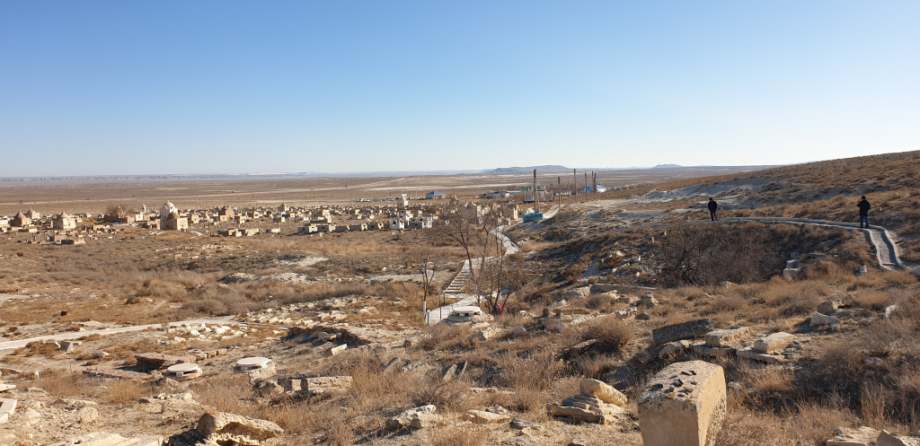
Shopan ata is a mausoleum complex, which is under the jurisdiction of local executive bodies. All people flock to this revered place with their cherished dreams and wishes. Chirakchi, the Keeper of this place, a prayer to everyone who comes in search of themselves or asking for help. All visitors need to walk around the wooden pole in a counterclockwise direction an odd number of times, this is a kind of ancient rite and ritual. Leaving sadaqa, the women and men are divided into two parts. Men go to the half where Shopan ata is buried, women go to the half where the wife, daughter and female relatives of the holy elder are buried.
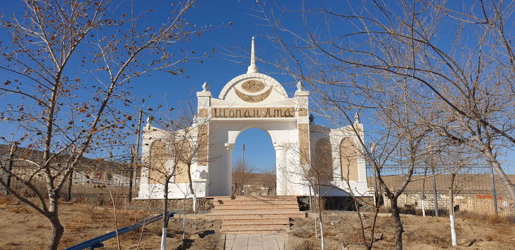
According to our guide, when visiting such places, tourists in most cases have questions with shooting. Everything is decided chyrakchy. One may allow you to take photos or shoot on video, and it happens that you will run into another time on a person who does not allow photo and video shooting in principle. Although, there is no official ban anywhere, which means everything is allowed. But such a collision is present. Many complain that these bans inhibit the very advertising and promotion of such locations among the population. People sometimes hear a lot about such places, but there is little information, photos and videos, as if these places are a big secret for outsiders. They are very much asking the authorities and the relevant state bodies to finally resolve this issue and come to a common denominator, and not arbitrariness on the ground.

Shakpak ATA under the protection of UNESCO
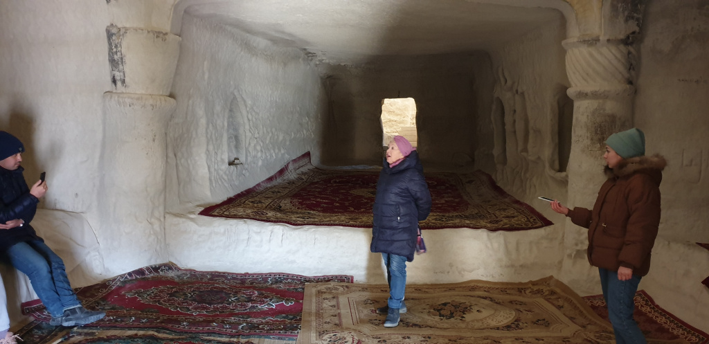
The cult-memorial complex of Shakpak ATA is worthy of particular attention. in the rocky promontory, the mosque itself is cut down, and a necropolis is located nearby. this place is truly revered as a holy place and has an eight-century history.
It is known from history that Shakpak ata was famous as the lord of fire. He had the unique ability to carve fire by touching one nail to another. That’s why he got the nickname Shakpak, which translates as flint, flint. The strangest thing is that in the area of Shakpak Ata there are abundant silicon outlets, which could serve as the basis for the emergence of this beautiful legend.
there is information that he was the grandson of one of the students of khoja ahmet yassawi, who wandered into mangistau in search of his teacher’s staff.
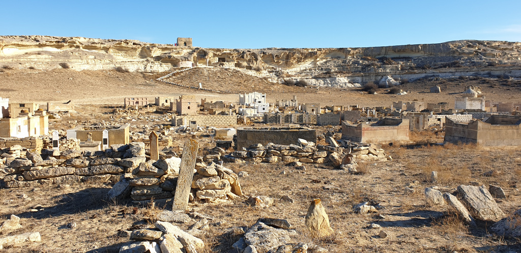
A square structure is built on top of the mosque, the walls of which are oriented to the cardinal directions. There are windows on each side. this structure served as the shakpak ata mosque both as a protection from precipitation and as a minaret. On the walls, on the outside and inside, there are many drawings, inscriptions and non-hand-made patterns.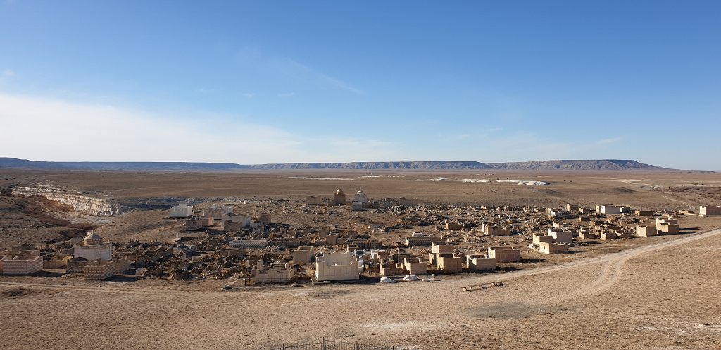
There is information that very soon the rock mosque Shakpat Ata will be included in the UNESCO list for the protection of the intangible cultural heritage of mankind.
The Ustyurt plateau is the meeting place of caravan routes
the ustyurt plateau is a flat hill that covers not only the mangystau region, but also neighboring uzbekistan. This is a huge area of 200 thousand square kilometers. You can walk hundreds of kilometers and not see the descent, neither the end nor the edge. Similarly, Bazzara, which is on the Ustyurt. To get down from it, you need to go around almost 25 kilometers. And Ustyurt is beautifully compared in many places with the Napoleon puff cake. by the way, it is thanks to these clearly tracing layers on ustyurt that archaeologists can easily and accurately determine the periods and epochs of the existence of a particular civilization.
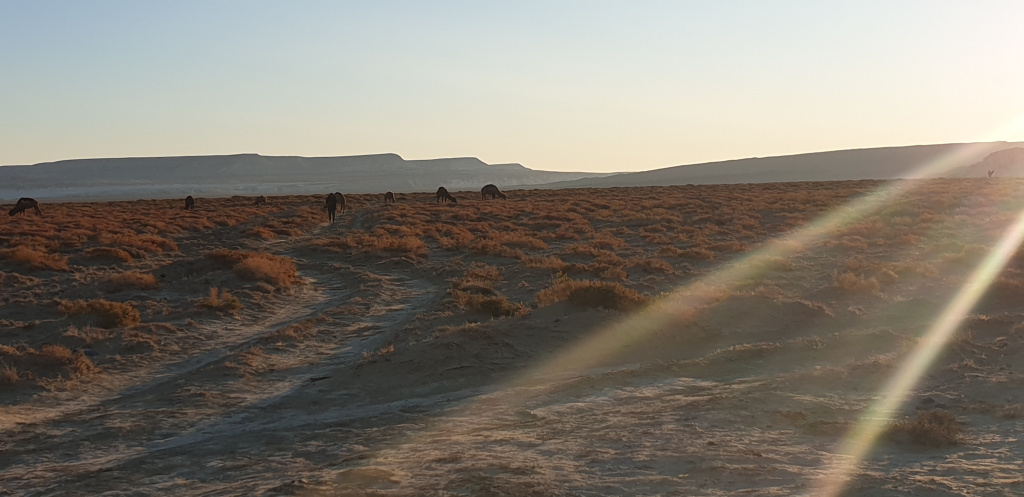
Ustyurt is the place where many caravans went along the Great Silk Road from China to Europe, stopping in Turkey, Georgia and other countries. On this vast territory there were parking lots for travelers, as they were also called wintering grounds. Here they dug wells, built necropolises, that is, real life was boiling here. Cities were built, gardens-oases among the desert boundless lands.
Kyzylkup – Mangystau tiramisu, Bazzara and Bokty – national symbols
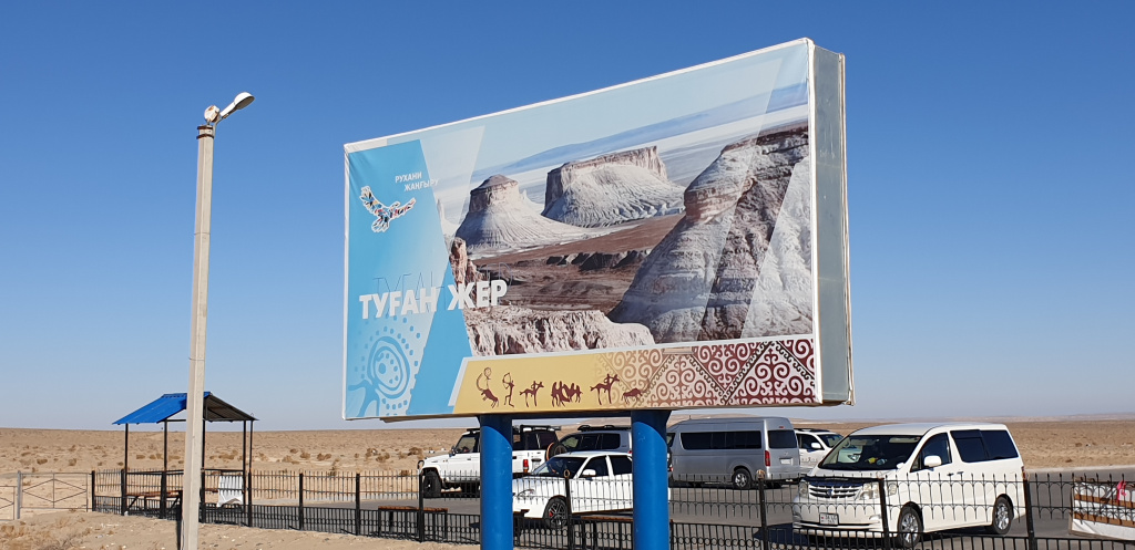
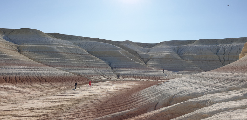
Kyzylkup – red sand or as it is also called in the people Tiramisu. These velvety, almost smooth low mountains immediately fascinate the eyes of anyone who finds himself here for the first time. The tract stretches from east to west for 10 kilometers and from north to south for 8 kilometers. The name of the tract received from the reservoir, which was once located in the north-eastern part. Kyzylkup is located in the northern part of Mount Bokty. The same Bokta that proudly flaunts in the national banknote-tenge (thousandth bill of 2014 issue).
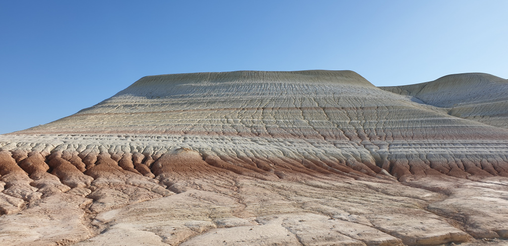
Mount Bokta has many names that people have given it. It is popularly called the Egyptian pyramid of Cheops, then an inverted boat keel up, there is even a layer cake and a giant lay down to rest.
Bozzhyra gives in some data the meaning of the Motherland, and in the common people it was called wolf’s fang, wolf’s ears or ships.
There is a legend associated with Bozzhyra that the tribes that migrated from the Altai to the lands of Mangyshlak did not particularly like the local bleak places. The lack of lush vegetation as at home, the bare steppes, all this evoked sadness and melancholy. But when they saw Bozzhyra, they called her wolf ears, which are somewhat reminiscent of the abandoned native lands.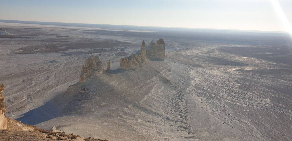
In 1982 and 1983, Bozzhyra was particularly interested in scientists from Moscow. A special expedition visited these places for in-depth study. There was even a whole series of materials in the magazine “Around the World “called” Green arrows of Ustyurt” and”From the Bow of centuries”. from a bird’s-eye view, the entire valley seems to resemble the nazca valley, dotted with various drawings.
These are essentially Ustyurt arrow-shaped layouts or stone bags. Their purpose was twofold. One of them says that rainwater was collected there.
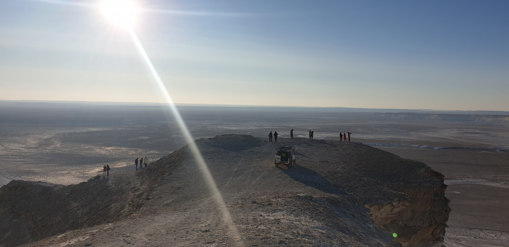
Bag-shaped stones up to 80 centimeters high were laid out on high ground, and the arrows themselves went down, where holes were dug. When it rained, which was extremely rare, it gathered and flocked to these wells to collect drinking water. This is one version. The second one says that they were a kind of corrals for cattle, they are also called arans. The arrows were 100 to 500 meters long. The animals were driven to this place. They reached the fence of stones, not all of them could jump. Adults calmly overcame the obstacle, the young ran along the stones and fell down on the dug wells with sharp palisades. That’s how, allegedly, the hunt took place according to the assumptions of scientists. The height of the Bozzhyr mountains in the area of” ushek ” reaches 180 meters.
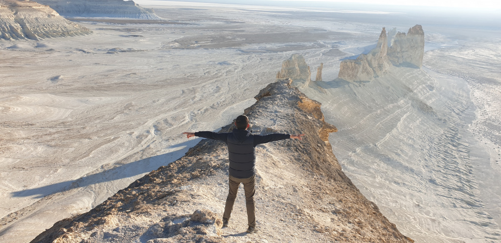
Bozzhyra, as well as bokty, is depicted on the national banknote of 1000 tenge back in 2006.
if you are overcome by an irresistible desire to see the most beautiful stars in the night sky, then come to bozzhyra and tuzbair. It is here that the whole sky is in the palm of your hand. Everything is so close that it’s like you just have to reach out and reach the sky. Everything is so fascinating. It is necessary to come to these places with an overnight stay. Otherwise, all the charm and beauty can be missed. tuzbair also impresses with the fact that in the early morning you need to walk to the middle of the lake, sit down and wait for the sunrise in the direction of the east. This is an indescribable sensation and feeling.
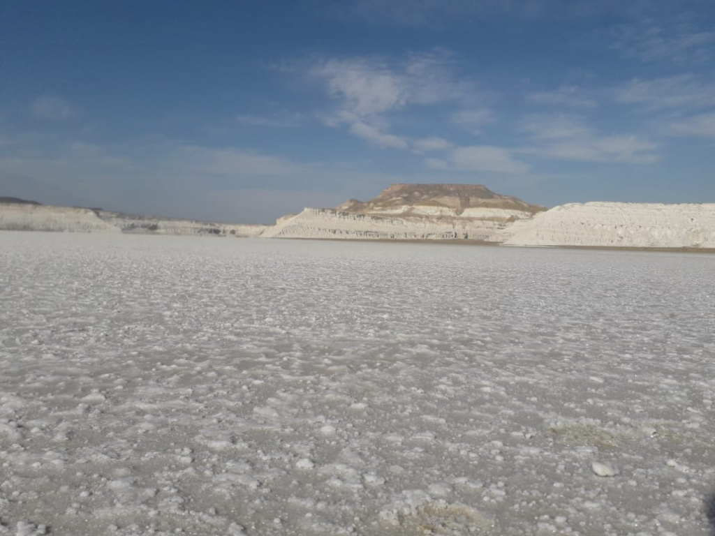
This litter reflects like a mirror the dawn, this indescribable phenomenon of nature. You need to see it once. And many Japanese even like to take pictures at night at Tuzbair. And all because the moon and stars here shine so that they are completely reflected in the salt lake. It’s quite a sight.
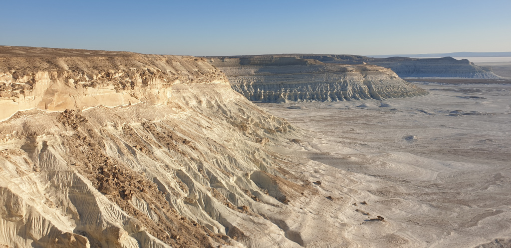
Definitely, there is no need to build a hotel at a very close distance to Bozzhyra. We are sure that the pristine natural beauty of the area will be violated. on the surface, you can and can think about building, with a beautiful panorama of the surrounding area. after all, people come here to see the untouched beauty.
(To be continued…)
Information taken from the site EL.KZ
Author-Rauan Iskaliev


